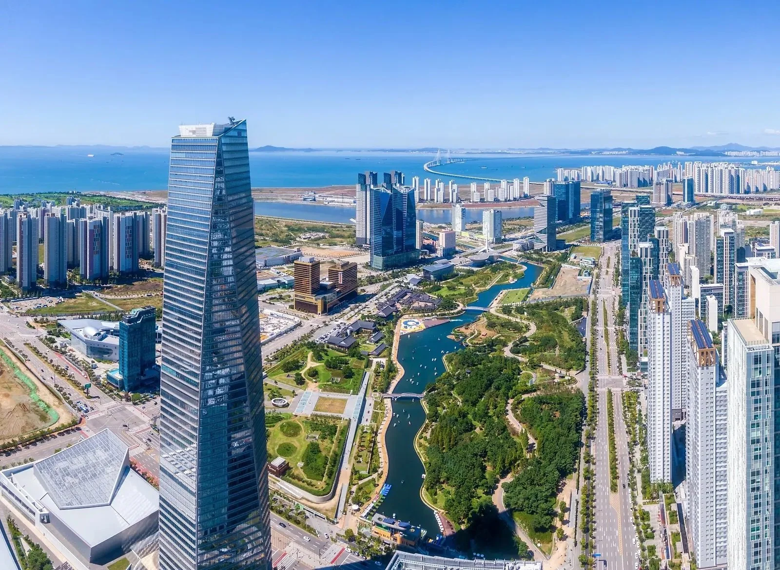
New Songdo City Master Plan
Incheon, South Korea
Size
65,000,000 sf
Architect
KPF, Kunwon
Role
Project Architect at KPF
Photography
KPF
Distinctions
* Urban Land Institute: Sustainable City Award
* Hong Kong Institute of Architecture: People’s Choice Award, Urban Design
* Hong Kong Institute of Architecture: Special Architecture Award
Positioned as the gateway to Northeast Asia, the 1,500-acre Songdo International Business District (also known as New Songdo City) serves as a leading example of sustainable, large-scale urban development—producing 70% fewer emissions than similar-sized projects.
Designed with a strong focus on walkability and environmental quality, New Songdo City features a wide mix of uses, pedestrian-friendly streets, 40% green space, and a compact urban layout that encourages lively street activity. Its residential zones are surrounded by generous green areas, and all parking is located underground. At the heart of the city lies a 100-acre recreational park, seamlessly integrated into the urban design. A system of sea canals, powered by wind turbines and replenished daily, enhances both sustainability and aesthetics. The city's forward-thinking design introduces new benchmarks in eco-friendly architecture, infrastructure, and urban planning.
The development includes 45 million square feet of office space, 30 million square feet of housing, 10 million square feet of retail, 5 million square feet of hotel accommodations, and 10 million square feet dedicated to public areas. Key institutions such as a K-12 international school, a top-tier hospital, museums, and university campuses round out the city's comprehensive offerings.


